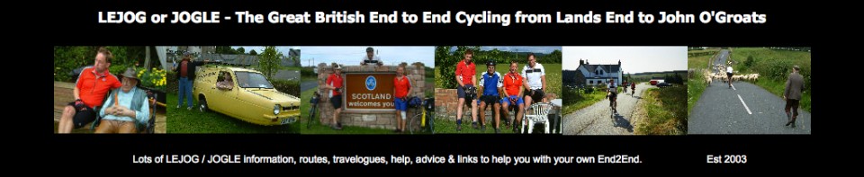
The Day to Day Blog
Day 1 – Lands End to Golant YHA near St Austell – 69 miles
(Forwards to Day 2)
LEJOG DAY 1 – Diary and Top Tips
 The trip in the car to Lands End on Saturday 26th July 2003 seemed ominous. The wipers on, black skies and plenty of “Cornish Drizzle”. After all our evening rides spent mostly in warm, dry conditions, this was going to be a nasty shock.
We had the obligatory photos taken at the Lands End Signpost, registration at the Post office, slapped on lots of sudocrem to help ease the strain around the saddle area, and set off in the pouring rain on the beginning of our LEJOG cycle ride.
This took us via some nice quiet B roads with hardly any traffic. The rain did ease off a little but then poured down again with avengance as we crossed the King Harry Ferry for the final 20 hilly miles.
No mishaps and everyone in good spirits despite the poor weather. Advice we had been given talked about making sure everything is tested before you go. I thought I had this covered except for the joys of sharing a large dormitory in a Youth Hostel with what sounded like a mixture of farmyard animals. Needless to say I had a restless night
 The Route (see below maps) – Overall today’s route was superb. Despite being the first Saturday of the school summer holidays, the roads we used were very quiet passing through lovely countryside and Cornish villages. Highly recommended! The last section into St Austell has a lot of up and down, but following a lot of research and local knowledge we are quite confident the route we chose was the least strenuous.
Food – Plenty of opportunities for food today. We had pasties at the excellent pasty shop in Marazion – although they do sell out if you leave it too late. We also used the General stores at St Buryan and Stithians, and had a hot meal in the café at Safeways in St Austell.

|
From |
To |
Day Distance (Miles) |
Running Total (Miles) |
Height climbed (Metres) |
Height descended (Metres) |
|
Lands End |
Golant YHA (Fowey) |
69 |
69 |
1648 |
1649 |
Detailed Route Map
The approximate route we followed for Day 1 is listed below (1:50 000).
I used the Memory Map 1:50 000 Ordnance Survey electronic maps for route planning. Note: – Don’t however buy their Adventurer GPS units as they are rubbish in my opinion.
Lands End, A30 past Sennen, R on to lane past Trevear Fm to St Buryan.
St Buryan R at church along lane past Tregadgwith to B3315 into Newlyn and Penzance
Penzance follow National Cycle Route (NCR) 3 to Marazion. Cross A30 at roundabout and follow B3280. R after 1 mile onto lane past Millpool, Godolphin Cross, Nancegollan, Porkellis, Carnkie, L to Stithians, Tubbon Hill, straight across A393 to Perranwell Station.
Next right after Perranwell Station across busy A39 to Devoran. Follow lane alongside creek past Point and join B3289 past Trellissick Gardens (NT) to King Harry ferry.
Turn L off B3289 along Lane past Philleigh, next R to Treworthal along NCR3 and L onto A3078.
Past Ruan High Lanes and R on lane to Tippetts Shop (NCR3) where L to Goviley Major.
R at B3287 to A390 where immediate R on lane to Sticker. L on B3273 at London Apprentice to St Austell.
Follow A390 around St Austell where R at roundabout on A3082. L at PH through Tywardreath across B3269 to Golant YHA
